File list
This special page shows all uploaded files.
| Date | Name | Thumbnail | Size | Description | Versions |
|---|---|---|---|---|---|
| 14:45, 1 January 2013 | Laythe map 800.gif (file) | 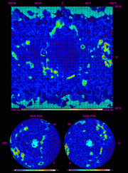 |
438 KB | A topografic height map of Laythe as at Version 0.18.2 made with the ISA MapSat plugin | 1 |
| 19:54, 30 December 2012 | Gilly map 800.gif (file) |  |
341 KB | A topografic height map of Gilly as at Version 0.18.2 made with the ISA MapSat plugin | 1 |
| 07:52, 30 December 2012 | Eeloo map 800.gif (file) | 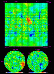 |
424 KB | A topografic height map of Eeloo as at Version 0.18.2 made with the ISA MapSat plugin Category:Topographical Maps | 1 |
| 15:48, 23 December 2012 | Kerbin map 800.gif (file) | 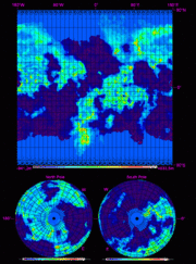 |
373 KB | A topografic height map of Kerbin as at Version 0.18.2 made with the ISA MapSat plugin | 2 |
| 17:27, 22 December 2012 | Moho 800 map.gif (file) | 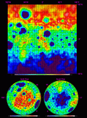 |
435 KB | A topografic height map of Moho as at Version 0.18.2 made with the ISA MapSat plugin | 1 |
| 19:12, 20 December 2012 | Pol 800 map.gif (file) | 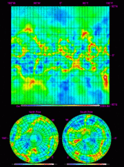 |
406 KB | A topografic height map of Pol as at Version 0.18.1 made with the ISA MapSat plugin | 1 |
| 19:22, 18 December 2012 | Dres map 800.gif (file) | 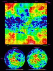 |
416 KB | A topografic height map of Dres as at 0.18.1 made with the ISA MapSat plugin | 1 |
| 17:56, 16 December 2012 | Armstrong.png (file) | 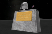 |
201 KB | KSPs Neil Armstrong memorial on the mun | 1 |
| 22:06, 29 October 2012 | Vall 800 map.gif (file) | 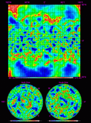 |
456 KB | A topographic heightmap of Vall made with the ISA MapSat plugin Category:Topographical Maps | 1 |
| 12:13, 28 October 2012 | Vall-jool-laythe-tylo.jpg (file) | 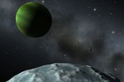 |
49 KB | The surface of Vall with Jool, Laythe and Tylo in the background. Bob is also on this picture but far to small to recognise. | 1 |
| 07:11, 28 October 2012 | Bop 800 map.gif (file) | 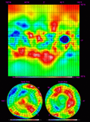 |
377 KB | A topografic height map of Bop made with the ISA MapSat plugin Category:Topographical Maps | 1 |
| 20:54, 24 October 2012 | Tylo map 800.gif (file) |  |
575 KB | A topografic height map of Tylo made with the ISA MapSat plugin | 1 |
| 13:08, 24 October 2012 | Isa mapsat mun map800.gif (file) | 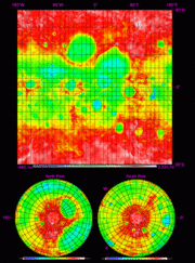 |
430 KB | Reverted to version as of 17:45, 23 October 2012 | 6 |
| 20:56, 23 October 2012 | Isa kerbol.gif (file) |  |
54 KB | ISA mapsat output for Kerbol Star | 1 |
| 17:27, 22 October 2012 | Eve map 800.gif (file) | 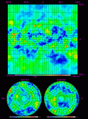 |
440 KB | Reverted to version as of 21:01, 21 October 2012 | 3 |
| 08:08, 21 October 2012 | Ike map 800.gif (file) | 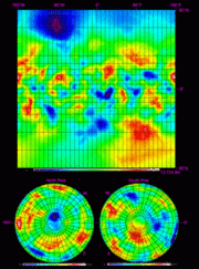 |
388 KB | A topografic height map of Ike made with the ISA MapSat plugin | 1 |
| 19:55, 20 October 2012 | Duna map 800.gif (file) |  |
471 KB | A topografic height map of Duna made with the ISA MapSat plugin | 1 |
| 15:57, 15 August 2012 | Monolith.jpg (file) |  |
12 KB | Monolith (aka "Munolith") on the surface of Mun | 1 |
| 23:05, 14 August 2012 | Mun arch.jpg (file) |  |
24 KB | Mun arch | 1 |