KerbNet
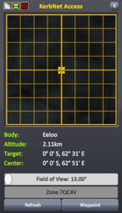
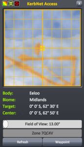
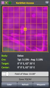
KerbNet is an orbital scanning and mapping system introduced in 1.2. When accessed from a KerbNet-capable part, a window will appear, displaying topographic, biome or resource maps for the area under the craft depending on the selected mode and the technical capabilities of the part. The information given in the lower half of the window will change dependent on the mode, and is for the area covered by the target reticule, which can be moved by clicking anywhere on the map. Below the information is the FOV slider (which adjusts the "cone of view"-essentially a zoom function at higher altitudes), the waypoint naming box and the buttons 'waypoint' (which places a waypoint under the reticule) and 'refresh' (which updates the map for when the vessel has moved). Along the top are four additional buttons-(from left to right) the button to toggle between modes, a button to toggle the gridlines and reticule, the button to change auto-update frequency and the exit button.
Modes
Terrain
Biome
Resource
Anomaly Detection
An additional feature of most KerbNet modules is the ability to detect anomalies (marked as a "?" on the map). Features marked as 'anomalies' can be easter eggs, monoliths or even the Space Program's own DSN groundstations. The detection rate for these anomalies is dependent on the 'anomaly detection' stat for each module-for example, the Probodobodyne RoveMate will always immediately detect nearby anomalies while the M4435 Narrow-Band Scanner cannot detect them at all.
List of KerbNet Modules
There are a total of twelve KerbNet-capable parts, including all ten unmanned command modules. All of these modules require a CommNet link to Kerbin in order to be able to use KerbNet.
| Image | Part | Radial size | Cost ( |
Mass (t) |
Scanning Modes | Min. FOV (°) | Max. FOV (°) | Anomaly Detection (%) |
|---|---|---|---|---|---|---|---|---|
| Probodobodyne Stayputnik | Tiny | 300 | 0.05 | Terrain | 25 | 45 | 0 | |
| Probodobodyne QBE | Tiny | 360 | 0.07 | Terrain | 13 | 72 | 18 | |
| Probodobodyne OKTO | Tiny | 450 | 0.1 | Terrain | 21 | 54 | 6 | |
| Probodobodyne OKTO2 | Tiny | 1 480 | 0.04 | Biome, Terrain | 13 | 72 | 18 | |
| Probodobodyne HECS | Tiny | 650 | 0.1 | Terrain | 17 | 63 | 12 | |
| Probodobodyne HECS2 | Small | 7 500 | 0.2 | Biome, Terrain | 9 | 81 | 24 | |
| CH-J3 Fly-By-Wire Avionics Hub | Tiny | 5 200 | 0.08 | Terrain | 10 (45)[Note 1] | 20 (135)[Note 1] | 24 | |
| Probodobodyne RoveMate | Small | 800 | 0.15 | Biome, Terrain | 5 (160)[Note 2] | 10 (179.5)[Note 2] | 100 | |
| MK2 Drone Core | Mk2 | 2 700 | 0.2 | Biome, Terrain | 10 (45)[Note 1] | 20 (135)[Note 1] | 48 | |
| RC-001S Remote Guidance Unit | Small | 2 250 | 0.1 | Biome, Terrain | 9 | 81 | 24 | |
| RC-L01 Remote Guidance Unit | Large | 3 400 | 0.5 | Biome, Terrain | 5 | 90 | 30 | |
| MPO Probe | Small | 9 900 | 0.895 | Biome, Terrain | 3 | 84 | 35 | |
| MTM Stage | Small | 21 500 | 0.795 | Biome, Terrain | 20 | 55 | 5 | |
| Mobile Processing Lab MPL-LG-2[Note 3] | Large | 4 000 | 3.5 | Biome, Terrain | 17 | 63 | 0 | |
| M4435 Narrow-Band Scanner | Radial mounted, Tiny | 1 000 | 0.1 | Ore | 5 (160)[Note 2] | 90 (179.5)[Note 2] | 0 |


